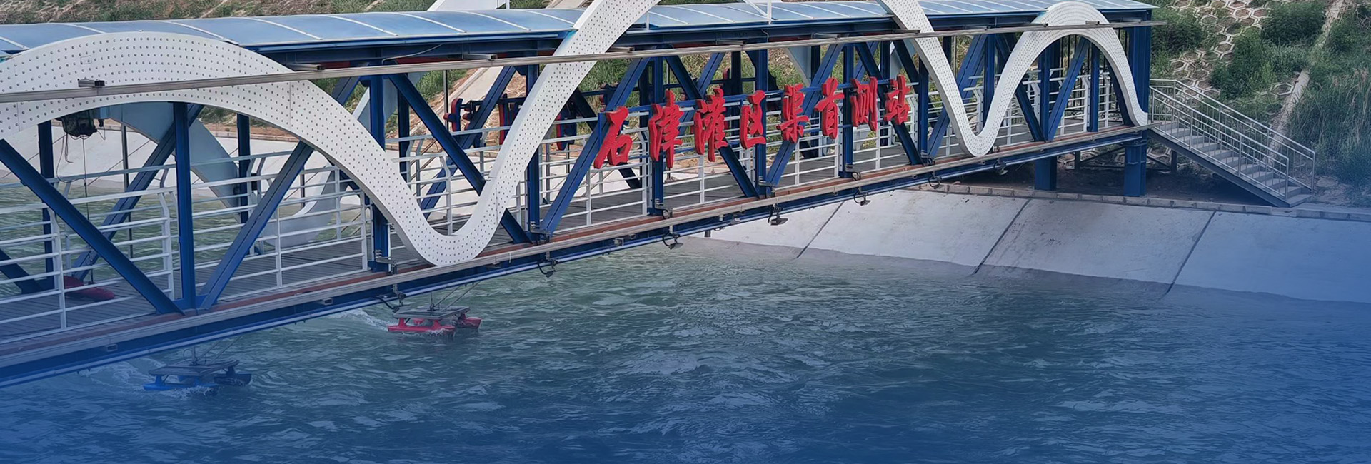
Solution Overview
Real-time monitoring and early warning systems for debris flows in potential geological hazard sites are critical to reducing risks to human lives and property. Long-term monitoring also supports scientific research by analyzing the formation, evolution, and patterns of debris flows, providing essential data for disaster prevention and mitigation. 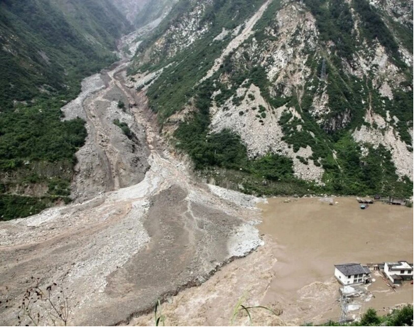
Deployment Requirements
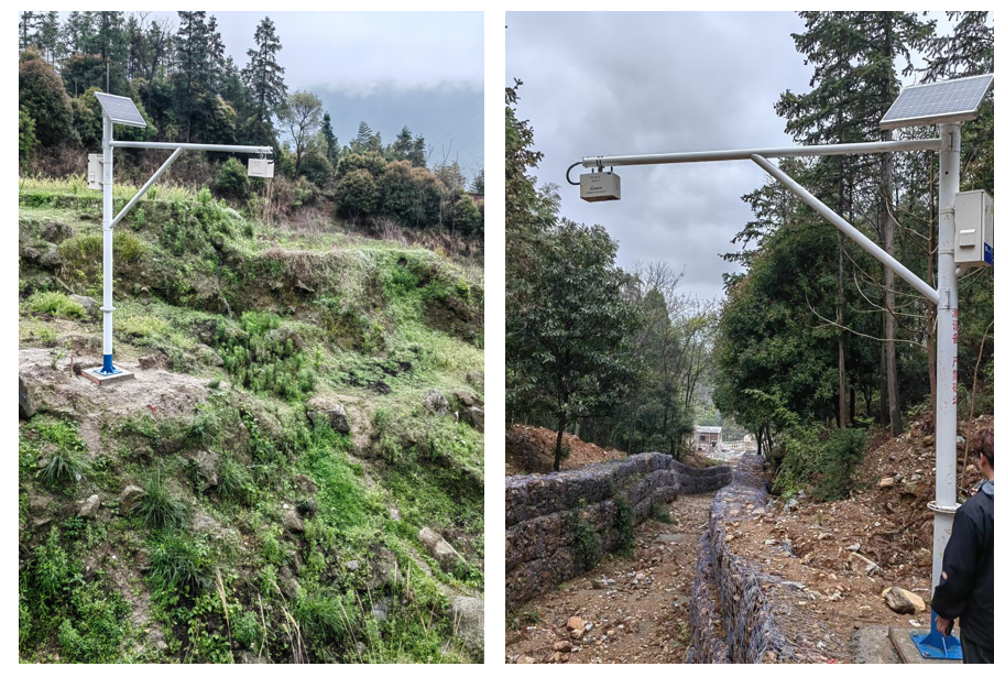
In high-risk geological areas, the following front-end sensing devices must be installed:
Mud level gauge
Displacement sensor
Tilt sensor
Rain gauge
Soil moisture sensor
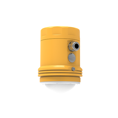
ShenZhen Huaju Scientific Instruments Radar Mud Level Meter
Utilizing Frequency-Modulated Continuous Wave (FMCW) radar technology, this device measures mud and water levels with high precision. Key advantages include:
Energy-efficient, non-contact measurement unaffected by temperature, surface vapor, airborne dust, water contaminants, or sediment.
Optimized algorithms ensure stable and accurate results.
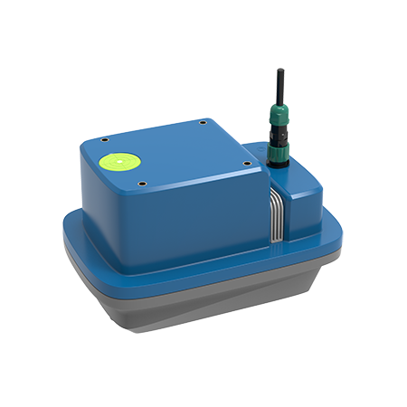
Integrated Data Acquisition System
The system supports external or built-in low-power data acquisition terminals from Huaju Keyi, which connect to sensors (displacement, tilt, rain gauge, cameras, etc.). Features include:
Wireless data transmission to cloud platforms.
Remote debugging and firmware upgrades.
Compact design, easy installation, and minimal maintenance.
Key Functionalities
Real-Time Monitoring
Continuous collection and visualization of displacement, tilt, rainfall, and other parameters.
Early Warning System
Automatic alerts triggered by abnormal data to mitigate geohazard risks.
Data Storage & Analysis
Historical data archiving and analytics for informed decision-making in disaster prevention.
Remote Surveillance
Live video monitoring to observe dynamic changes at hazard-prone sites.