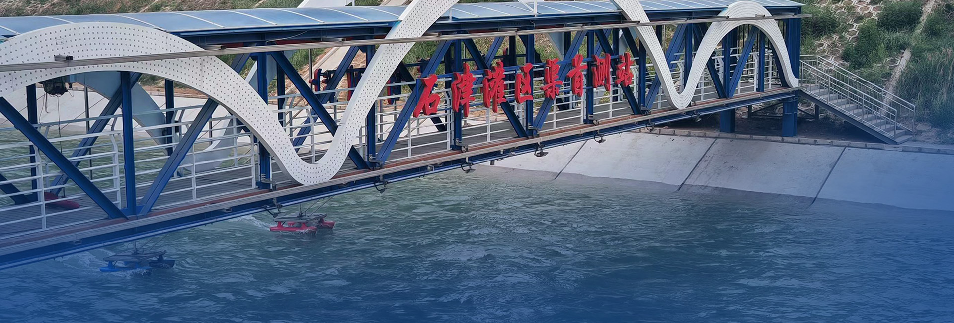
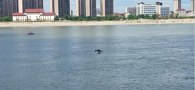
Drones equipped with radar flow meters, radar level gauges, and precipitation monitoring radars enable high-precision dynamic monitoring of water conditions, flow velocity, and water levels in critical areas such as coastal zones, flood detention basins, mountain torrent-prone regions, rivers, lakes, reservoirs, and water resource systems. Real-time data collection, upload, and sharing support timely responses to emergencies through centralized drone resource management via integrated platforms. 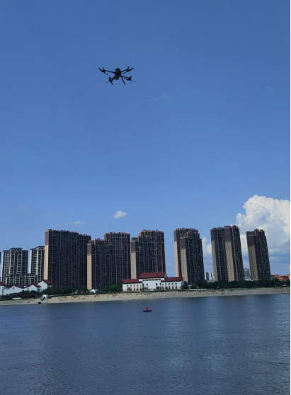
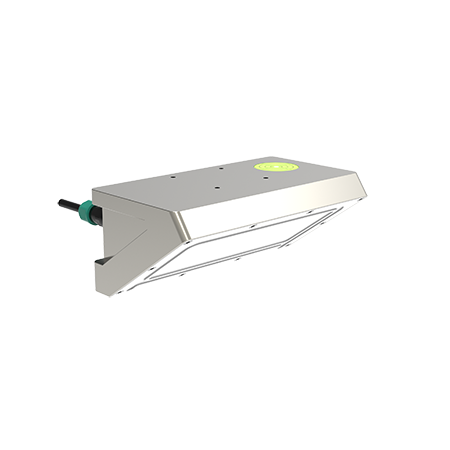
Huaju Scientific Instruments Radar Flow Meter
Developed by Shenzhen Huaju Scientific Instruments Co., Ltd., this radar flow meter features:
K-band planar microstrip array antenna for focused energy transmission.
Integrated functions: vertical angle compensation, flow velocity filtering algorithms, signal strength detection, RS485/RS232 communication, and wireless connectivity.
Ultra-low power consumption and compact design, minimizing power supply demands.
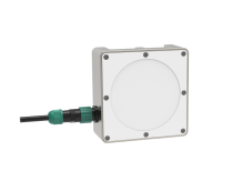
Huaju Radar Level Gauge
Employs Frequency-Modulated Continuous Wave (FMCW) radar technology with 60GHz/80GHz millimeter waves for carrier signals.
Achieves millimeter-level accuracy through optimized signal processing and anti-wave filtering algorithms.
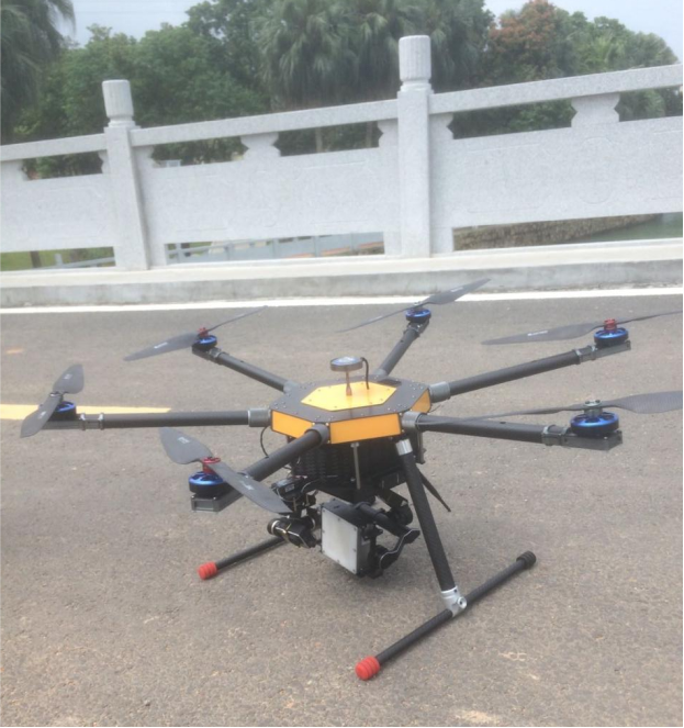
Drone Platform Requirements
To ensure stable hovering and precise monitoring in complex, windy environments, the onboard equipment must meet strict criteria for size, weight, and accuracy. Huaju’s radar flow meters and level gauges are designed for:
Wide monitoring range, suitable for long-distance applications.
Compact, lightweight, and low-power construction.
Wind and vibration resistance, IP68 waterproofing, and ruggedized power circuits with reverse-polarity and lightning protection for field durability.
Key Advantages
All-Weather Operation: Unaffected by climate, sediment, or floating debris; waterproof and lightning-proof for reliable performance in harsh conditions.
Lightweight and Agile: Minimal drone payload impact, enabling flexible deployment and rapid multi-point data acquisition.
High Precision: Millimeter-level resolution and accuracy for dependable measurements.
Data Management: Supports real-time recording, historical data queries, and streamlined post-analysis.