This project integrates with natural resource management systems to aggregate and analyze monitoring and early warning data, including:
Mud level
Displacement
Crack width
Water level
Ground temperature
Rainfall
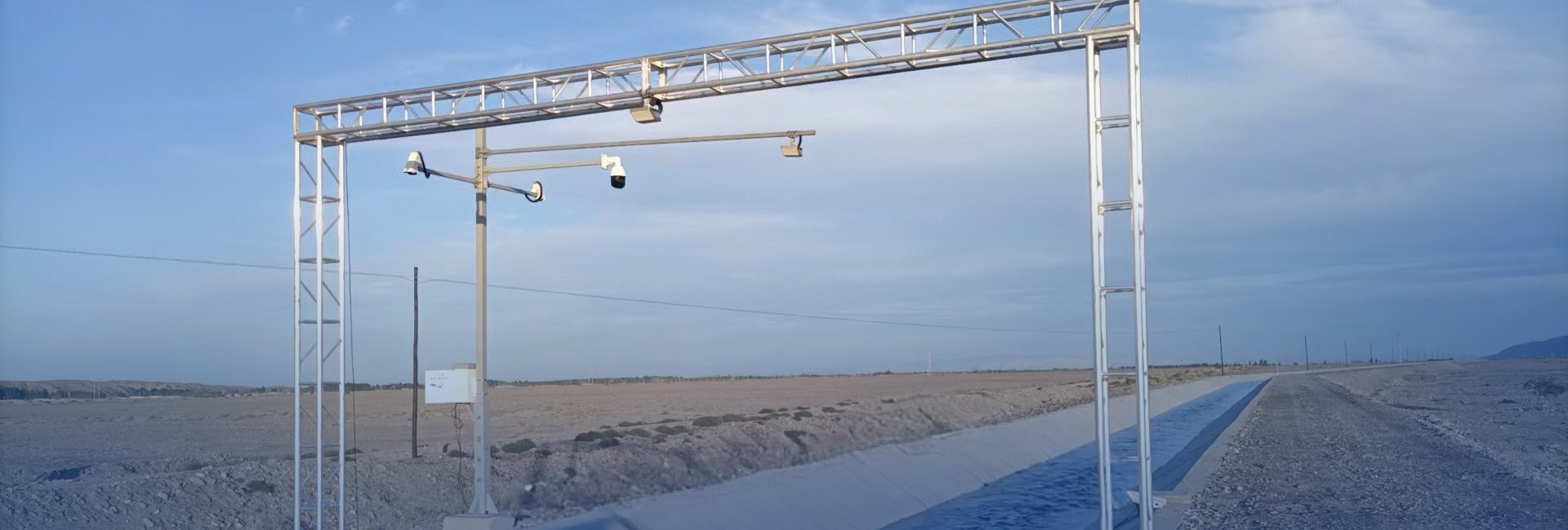
Video surveillance
Remote sensing data
Geohazard monitoring alerts
Early warning feedback (rapid report data)
The system enables data analysis, fusion, and visualization to support comprehensive geological risk management.
Technical Implementation
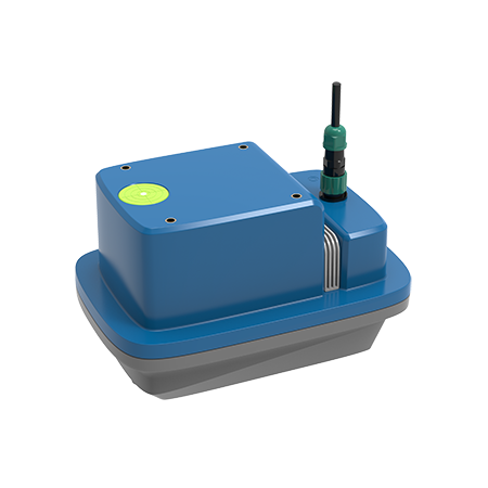
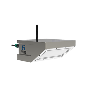
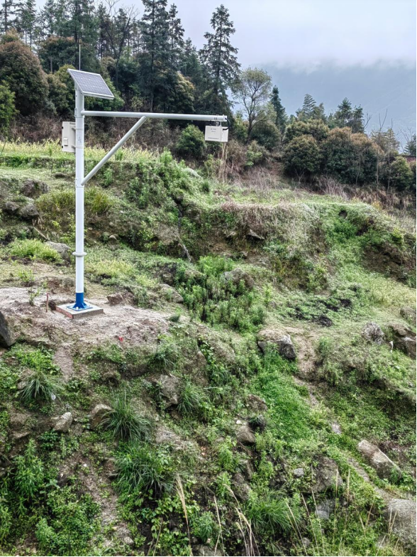
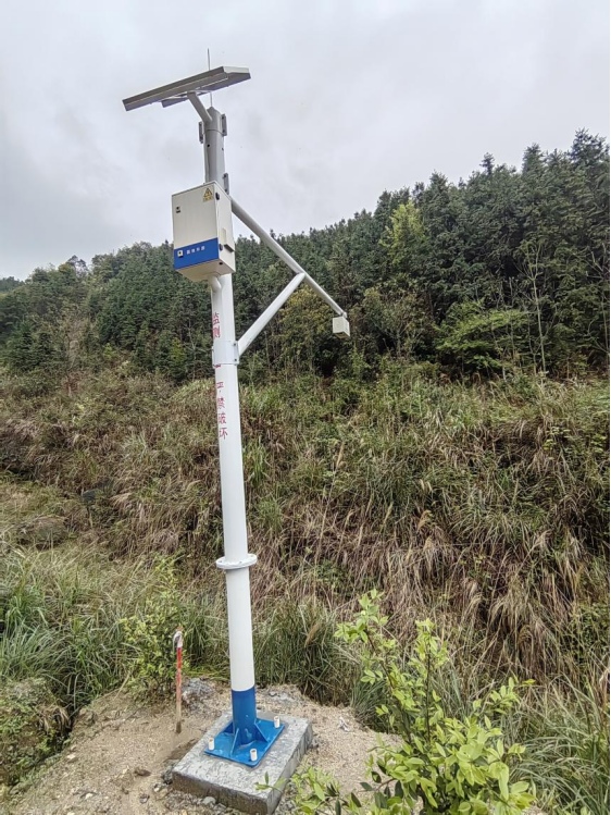
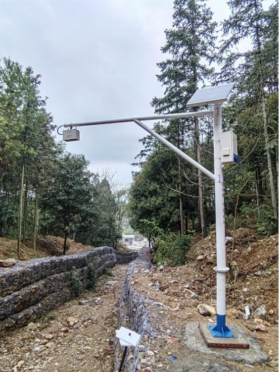
The project deploys Huaju Scientific Instruments’ mud level gauges, which utilize Frequency Modulated Continuous Wave (FMCW) radar technology to measure mud and water levels. This energy-efficient, non-contact method ensures accuracy and stability unaffected by environmental factors such as:
Temperature fluctuations
Surface vapor pressure
Airborne dust
Pollutants or sediment in water
Advanced algorithms further enhance measurement precision and reliability.
System Features
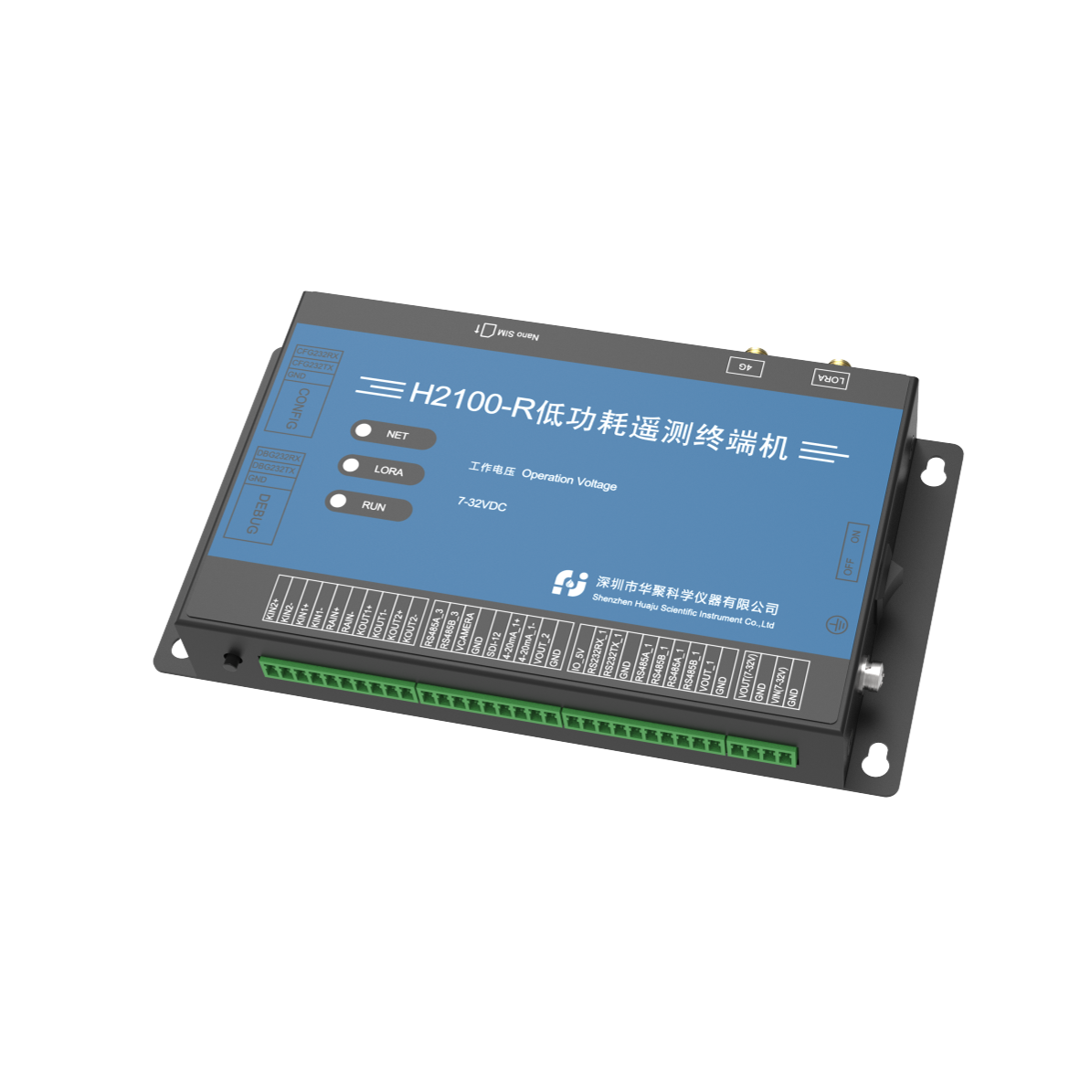
The ShenZhen Huaju Scientific Instruments radar mud level gauges incorporate built-in RTU functionality, enabling:
Direct wireless data transmission to cloud platforms
Remote debugging and firmware updates
High integration, compact size, easy installation, and minimal maintenance
Key Outcomes
Enhanced Warning Accuracy
Intelligent analytics reduce false alarms and missed detections through precise geohazard predictions.
Accelerated Response Times
A rapid notification mechanism ensures alerts reach relevant departments and personnel promptly, improving emergency response efficiency.
Mitigated Disaster Impacts
Timely warnings and coordinated countermeasures minimize threats to public safety and property.
This system establishes a proactive, data-driven framework for geological disaster prevention, aligning with smart city resilience objectives.